Topic: InfrastructureConflict and Hydro-Colonialism on The River Jordan

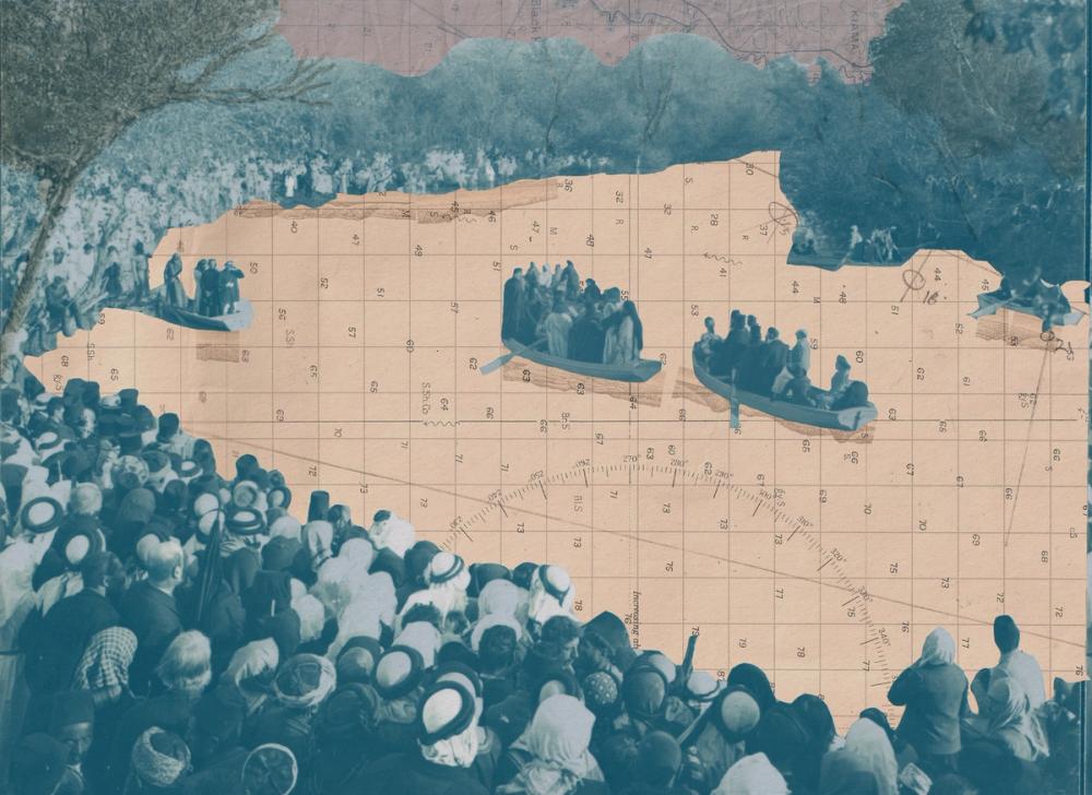
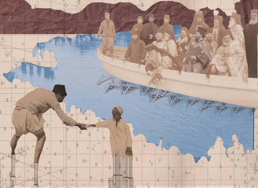
Borders are power structures. They represent attempts to exert control over a region, restricting movement and access. Borders often embody asymmetrical power relations, commonly colonial in nature. Luzan Munayer examines how hydro-colonialism, conflict, and securitisation along the River Jordan have degraded a once sacred space. Edited by Zainab Mahmood. Illustrations by Holly O’Neil.

By Luzan Munayer

In contested geographies, colonial power does not only reside in laws and armies. It sediments into the land itself, embedded in borders and networks of pipes, inscribed in topological contours and apportioned in the volumes of water that flow across them. These material arrangements can not only outlast, but also outgrow the political moments that produced them. What begins as an exercise of domination is gradually baked into the terrain itself, leaving consequences that are incredibly difficult to reverse.

The Jordan Rift Valley is one such place. Once a connective landscape linking valleys, wetlands, communities, lifeways, and spatial and cultural practices across Bilād al-Shām, it was first recast into a frontier during the Mandate era following the Sykes–Picot agreement. It remains today a heavily policed transboundary seam running along the North-South corridor of the Jordan River. For many, this degraded and tightly securitised river is the only version they know.

Historically, however, the Jordan functioned less as a border designed to divide than as an accessible, connective corridor. The river’s shallow crossings, known as fords, opened during low water seasons, ferries carried people and goods across deeper channels, and bridges anchored the busiest routes. Seasonal crossings wove ecology, economy, faith, and kinship into a single hydro-social fabric. For generations, the river was where life, commerce, and ritual flowed.

collage of boats on the River Jordan
Illustration by Holly O'Neil for IFLA Issue 12: Power. Holly illustrated all of the articles in this issues 'Power Structures' sub-theme.

Few rivers have been as extensively mythologised, sanctified, and contested as the Jordan. The river holds deep significance across many faiths. For centuries it has represented a site of miracles, and a threshold between hardship and promise, spanning beliefs from the Abrahamic religions to lesser-known faiths like Mandaeism and the Baháʼí faith. Believed to be the site where Jesus Christ was baptised, the Jordan became a major place of pilgrimage from as early as the 4th century – pilgrims collected its water, dipped their shrouds in it, and carried its reeds home.

image of two men standing in a river holding hands
Illustration by Holly O' Neil for this article in IFLA! Issue 12: Power.

For millenia, and still within living memory, every January, crowds massed along the bank while narrow boats moved on the water for the Christian Epiphany celebration, with the Patriarch of Jerusalem casting a bouquet of basil into the river. Archival images also depict the Holy Monday pilgrimage, where pilgrims marched from Jericho to the water's edge, joined by Copts, Russians, Poles, Armenians, Greeks, and people from across Bilād al-Shām in a shared landscape of many origins and faiths. Many disrobed and rushed into the sacred river; some fully plunged, while others were dipped three times. Geography shaped practice at the riverside; while most pilgrims kept to the bank, Coptic pilgrims swam boldly into midstream, as if navigating their own Nile.

During the British Mandate, large-scale water supply and reclamation projects transformed Historic Palestine under the guise of progress. Exclusionary by design, British water policies favoured Zionist settlement expansion over the agricultural and subsistence needs of the Indigenous population. The consequences were not only ecological but profoundly human, deepening under Israeli occupation that succeeded the Mandate through what many have come to call hydrologic apartheid. It manifests, among other ways, through the expropriation of water resources, destruction of Palestinian water infrastructure, and restriction of access through the designation of waterscapes as closed military zones and nature reserves to restrict access and accelerate displacement of Palestinians. The arithmetic is stark: The average Israeli consumes 247 liters of water a day, while Palestinians in the West Bank consume 82.4 litres, and in Gaza, just seven litres, a product of policy not geography.

Palestinian local communities have always seen through the rhetoric of colonial ‘modernisation,’ recognising that control over water was inseparable from control over land, livelihoods, borders, and regional networks. In 1919, Chaim Weizmann (president of the Zionist Organization and later the first President of Israel) wrote to the British prime minister Lloyd George: ‘The whole economic future of Palestine is dependent upon its water supply for irrigation and for electric power’. 

Today the Jordan River Basin is shared by Jordan, Syria, Lebanon, the occupied Palestinian territories, and Israel. In practice, however, its waters are profoundly unequal in distribution. Israel controls key upstream sources of the Jordan River and diverts large volumes of its water through mega infrastructure projects. A century of colonial border-making, displacement, militarisation, and overexploitation has reduced its flow to about 10% of its former levels, leaving the river diminished and the communities dependent on it deprived. The river's present fragmentation and inaccessibility make its vibrant past difficult to imagine: a time when geography, faith, and bodies met freely at the water.

Today, the contradictions of the Jordan are laid bare at the site where Jesus Christ was believed to be baptised. For decades after the 1967 Arab-Israeli war, the area was a mined battlefield, ringed with booby-trapped churches; access reopened only after demining began in 2018. Palestinians who remember the site before the war often describe its present state with disappointment; in their collective memory, the river was cleaner, deeper, with a stronger current, and, above all, accessible. Pilgrims arrive seeking transcendence only to find militarised surveillance. Many come to walk in the footsteps of Jesus, yet movement is strictly managed; there is little walking at all. The river is staged like a billboard for competing agendas: both the Israeli and Jordanian governments claim to host the ‘authentic’ biblical baptism site, leveraging faith in a contest over the power of tourism, revenue, and territorial legitimacy.

On the Jordanian-controlled side, a timber platform steps down to the water. A few metres across, on the Israeli-controlled bank: a towering, nearly ten-metre-high platform watches over the baptising pilgrims, its height evoking a watchtower more than a riverbank. At the water’s edge, barriers multiply: steel police barricades form queues, and a yellow sign warns ‘Border Ahead’ in Hebrew, English, Arabic, and Russian. Beyond the signage, pilgrims are allowed to immerse in the murky polluted waters within separate rectangular enclosures marked by float lines on each side. Ritual takes place under the watch of military cameras and armed soldiers.

More than a century after the Jordan became a border, the imprint of colonial power remains unmistakable, and is continuously deepening. The damage to water infrastructure across the region is not collateral but deliberate: a consistent strategy of territorial expansion towards natural resources, their conversion into makeshift borders, and the systematic deprivation of Indigenous populations from accessing them. 75% of Gaza's population have been consuming salinised or contaminated water following the mass destruction of its infrastructure, a pattern now repeating in Lebanon, where Israeli forces are targeting water systems as a method of warfare during the ongoing Israeli war on Lebanon. Meanwhile, Israeli ministers have openly announced the Litani, a river running thirty kilometres deep into Lebanese territory, as the future northern Israeli border, consistent with a well documented Zionist vision that has long counted the Jordan, Mount Hermon, and the Litani among its declared ambitions.

The asymmetry of power that is both visible and felt at the Jordan’s banks is not incidental; it is driven by the same logic that has reduced the river’s flow, severed its banks, deprived its communities of access and water, and turned water into a weapon. At this very site, where miracles are said to have occurred, imagination is shackled; what emerges instead is a landscape of constriction and depletion. It embodies the lived reality of the wider region beyond the river’s banks, where both geography and history continue to be erased in plain sight, under everyone’s watch, and without accountability for those in power. The violence is not hidden; it is simply reframed as necessary.


1.

Geologically, a rift valley appears between diverging tectonic plates.

2.

Bilād al-Shām (‘the lands of al-Shām’) with Shām referring both to Damascus and to the surrounding region encompassing Historic Palestine and modern day Syria, Lebanon, and Jordan.

3.

The Sykes–Picot agreement was a secret 1916 agreement between British and French representatives to divide the Ottoman Empire’s Arab provinces into spheres of influence. It is often cited for imposing arbitrary borders that ignored local realities and seeded ongoing regional instability.

4.

B’Tselem, Parched: Israel’s policy of water deprivation in the West Bank, (2023). Unicef, 'Barely a drop to drink’: children in the Gaza Strip do not access 90 per cent of their normal water use, (2023). Mohammad Mansour and Givara Budeiri, Israeli settlers consume seven times more water than Palestinians, Al Jazeera, (2026).


5.

Joe Stork, Water and Israel's Occupation Strategy, Middle East Research and Information Project,  1983.

6.

L. Givetash, The Dead Sea is dying. A $1.5 billion plan aims to resurrect it, NBC,(2018).

7.

Mine Action Review, Clearing the mines 2018 Report: Palestine, (2018).

8.

Middle East Monitor, UNRWA: 75% of Gazans drink contaminated water, 90% of children sick (2024).

9.

Oxfam, Israeli forces using Gaza playbook in Lebanon, decimating water infrastructure, (2026).

10.

The Times of Israel, Smotrich says Litani River should be Israel’s new border with Lebanon, (2026).

11.

Joe Stork, Ibid. In the aforementioned letter between Weizmann and British PM Llloyd George, he continues: ‘the water supply must mainly be derived from the slopes of Mount Hermon, from the headwaters of the Jordan and from the Litani river.

More Reads